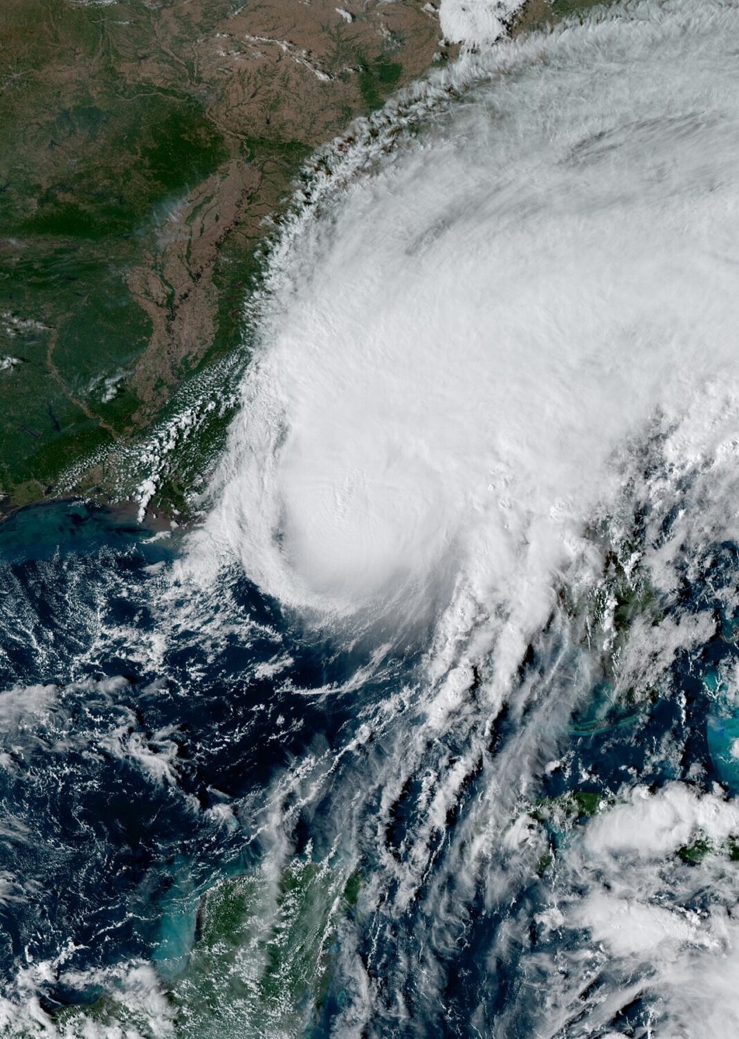


The National Hurricane Center (NHC) said Monday that a new subtropical system could form over the western Atlantic. The chance of its development over the next seven days was put at 30%. Meanwhile, central Florida is dealing with intense rainfall that has led to flood alerts and school closures in parts of the region.
According to the NHC forecast issued Monday afternoon, an area of low pressure could form in the coming days along a weakening front, several hundred miles northeast of the Bahamas. The system will move across the western Atlantic and could take on “subtropical characteristics” late in the week. Forecasters expect, however, that conditions will become less favorable for its development by the weekend, as the system heads east or northeast. If it meets the required criteria and is named, the next name on the 2026 season list is “Kyle.”
Meanwhile, the National Weather Service (NWS) has issued flash flood warnings for the central part of the Sunshine State. A slow-moving storm system has dropped more than a foot of rain in places. The NWS office in Melbourne declared a particularly serious threat in part of Brevard County, where rainfall of 8 to 12 inches was recorded.
Because of the weather conditions, schools in Brevard County canceled classes for the entire day, and Sheriff Wayne Ivey urged drivers to stay off the roads.
This year’s Atlantic hurricane season has so far been quieter than average. According to the data presented, the only system to reach hurricane strength was Isaias. The cyclone struck the Destin area on Florida’s northwest coast on Oct. 9 as a Category 2 hurricane. After moving inland, it weakened to a post-tropical cyclone, but still brought strong wind and heavy rain. The limited tropical storm activity this year has been influenced by a strong El Niño.
Editor: JŁ
Source: Słoneczne Radio