

The second nor’easter in two weeks is bringing high waves, strong winds and tidal flooding to Florida’s Atlantic coast. National Weather Service (NWS) warnings are in effect through at least Thursday, Oct. 29.
Waves near the shore are reaching as high as 11 feet (about 3.4 meters). East of Interstate 95, wind gusts of 35–45 mph (56–72 km/h) are possible. Rough seas are eroding beaches, and storm conditions are forecast offshore.
In northeastern Florida, including the coast, the Intracoastal Waterway and areas along the St. Johns River, high-tide water levels are 2–3.5 feet (0.6–1.1 meters) above normal. Parking lots, marinas and low-lying streets are flooding. The NWS office in Melbourne has also issued a coastal flood warning for the Space Coast. The situation is being made worse by the autumn “king tides” and a full moon.
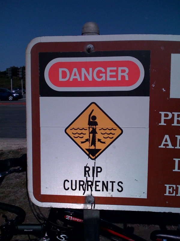
Officials strongly advise against going into the water, as rip currents are dangerous even for experienced swimmers. Owners of small boats should stay in port. Drivers who have gone through saltwater should thoroughly wash the undercarriage of their vehicles to prevent corrosion. It is also a good idea to secure Halloween decorations against the wind.
The wind is expected to weaken on Friday. Further periods of exceptionally high tides are forecast for Nov. 6–9 and Nov. 23–26.
Source: National Weather Service, WUFT, News4JAX, WFIT
KN
Source: Słoneczne Radio