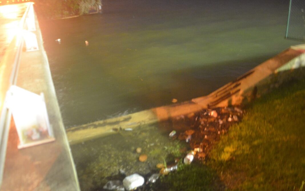


South Florida residents should prepare for flooding. So-called king tides, the highest tides of the year, are returning to the coast, while forecasters are also predicting heavy rain and strong winds.
The king tide period will last from Oct. 24 to 30. The peak on the east coast falls on Tuesday, Oct. 27, and in the Florida Keys on Oct. 28 and 30. This week, the National Weather Service (NWS) already issued coastal flood warnings for Miami-Dade, Broward and Palm Beach counties. A high surf warning (1.5–2 meters, or about 5–6.5 feet) is also in effect in Palm Beach, and the risk of rip currents is high on Atlantic beaches.
Worst on Sunday and Monday
Over the weekend and early next week, 2 to 4 inches of rain (5–10 cm) could fall, and locally even more. On Saturday, Oct. 24, the Weather Prediction Center declared a moderate risk (level 2 on a 4-level scale) of flash flooding from Port St. Lucie to northern Miami. On Sunday, sustained winds are expected at 25–30 mph (40–48 km/h), with gusts of more than 40 mph (about 65 km/h).
Strong northeasterly wind combined with high tide could cause moderate, and in places serious, flooding in coastal areas. Heavy rain during high water will also make it harder for water to drain from low-lying neighborhoods.
How to Prepare
- Don’t drive into flooded streets. Salt water ruins cars, and the depth can be hard to judge.
- If you live in a low-lying area, move your car to higher ground, such as a multilevel parking garage.
- Avoid swimming in the ocean when a rip current warning is in effect.
- Follow announcements from the NWS and local authorities.
Source: National Weather Service (NWS), NBC 6 South Florida, CBS News Miami
Klaudiusz Nowak
Source: Słoneczne Radio