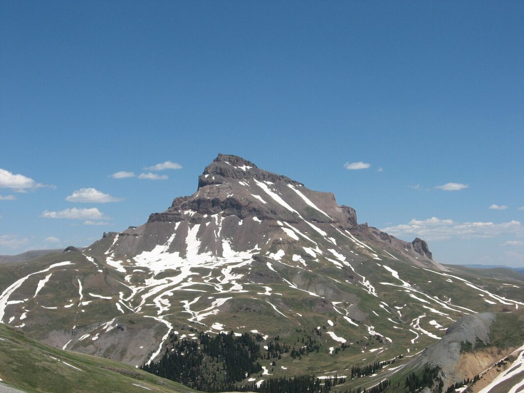

 of snow, and CAIC has issued a special avalanche warning that runs through Monday.)
A warning for heavy snowfall is in effect in Colorado’s mountains. The San Juan Mountains above 10,000 feet (about 3,050 m) could get 12 to 24 inches (30–60 cm) of snow. A special avalanche warning has also been issued for parts of the southern and central mountains and remains in effect until Monday.
A warning for difficult winter conditions is in effect for the Flat Tops and the central Colorado mountains. Forecast snowfall there ranges from 5 to 10 inches (13–25 cm) from Sunday night into Monday. In the southern San Juan Mountains, where the ground is saturated after last week’s flooding, 2 to 4 inches (5–10 cm) of rain is also possible.
The Colorado Avalanche Information Center (CAIC) resumed daily avalanche forecasts on Nov. 1 and began the season with a special warning for parts of the southern and central mountains. The danger is expected to rise quickly on Sunday. In parts of the San Juan Mountains and the Elk Mountains, it could reach Level 4 on the five-point scale, meaning high, above treeline by Monday.
According to a statement from the National Weather Service (NWS) in Denver, issued at CAIC’s request, the special avalanche warning for the San Juan Mountains is in effect from 4:30 p.m. Sunday to 4:30 p.m. Monday local time. People traveling in the backcountry could easily trigger an avalanche large enough to bury a person. Rain, snow and wind could set off natural avalanches above treeline.
CAIC says large natural avalanches are possible, especially from late Sunday into Monday. At lower elevations there may be little or no snow, but avalanches could run below the snow line.
CAIC urges people heading into the mountains to avoid avalanche terrain in the areas under the warning. That includes slopes steeper than about 30 degrees, as well as areas beneath or connected to avalanche paths. The warning and regional forecasts are available at colorado.gov/avalanche.
Source: Denver Post
KN